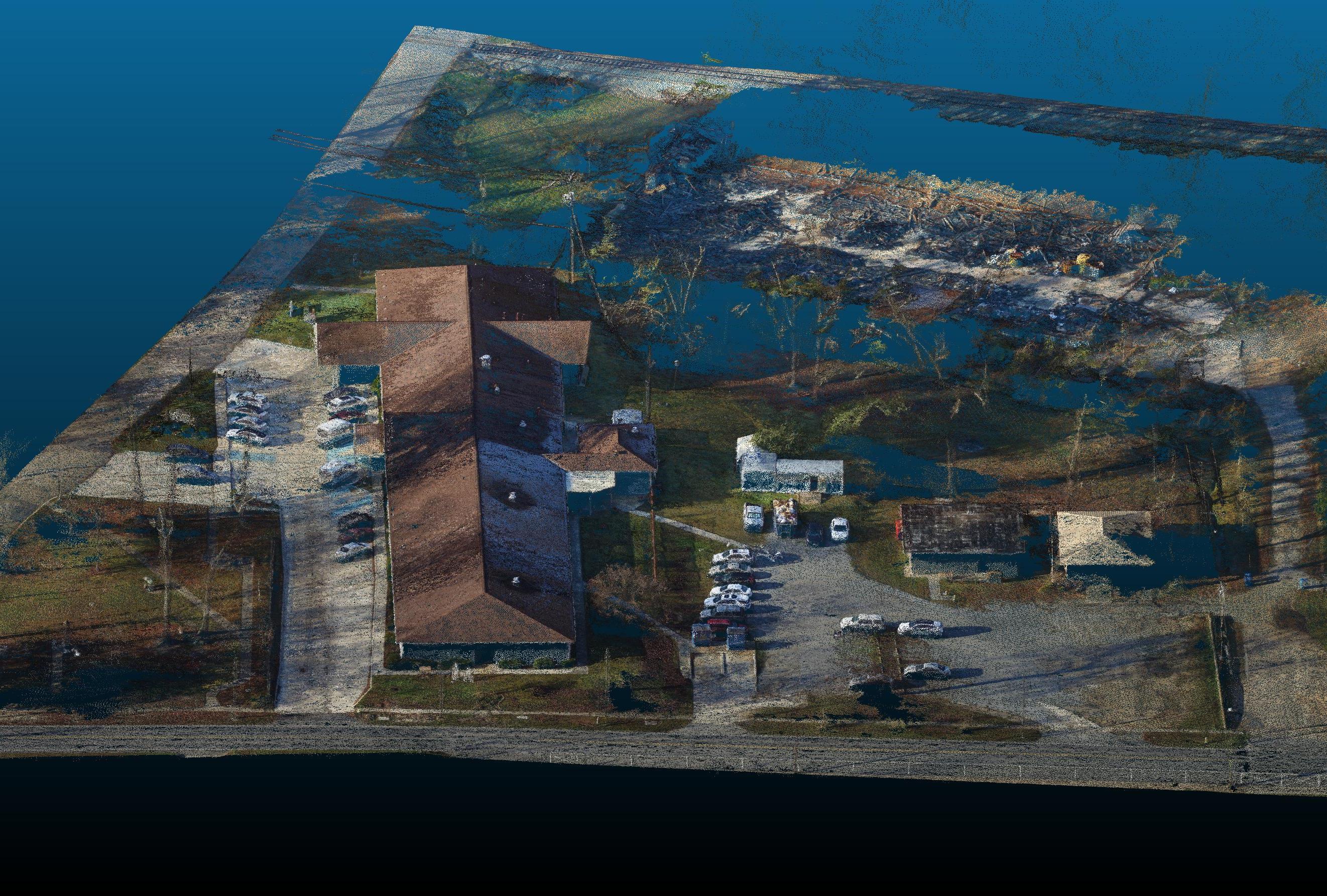
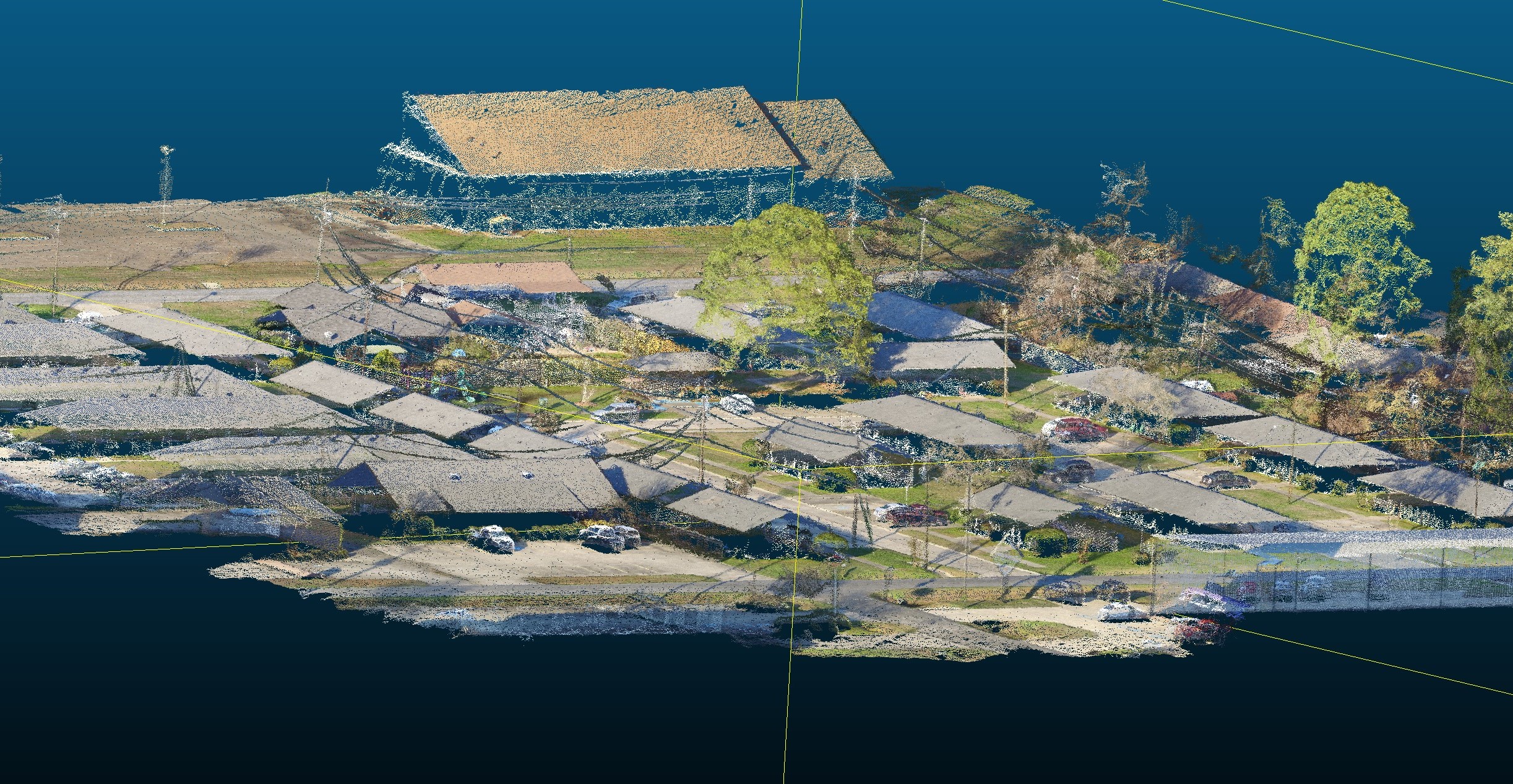
Drone Survey Projects
| |

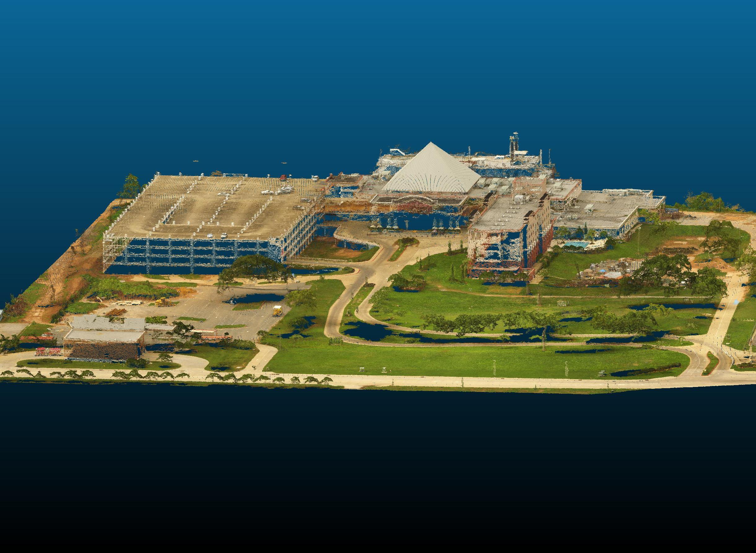
ALTA/NSPS Land Title Survey - Boomtown Casino - Bossier City, Louisiana:
To produce the survey in the timeframe desired for the 22.65 acres site, it was determined a drone aerial survey would be the most efficient way to accomplish this goal. In order to facilitate the drone survey a system of ground control points visible from the air needed to be established. This produced an Orthomosaic 2D image as well as a 3D Digital Surface Model (DSM) that was utilized to generate the finished survey. The image shown here to the left is the 3D imagery of the actual point cloud data. An unforeseen additional benefit of this type of survey was that the limits of the boat were able to be accurately measured and shown. In other previous surveys the boat was simply estimated and measured as a rectangular box. The normal Table A items for an ALTA survey were addressed in their normal course for this project.
ALTA/NSPS Land Title Survey - Lakeview Nursing Home - Farmerville Louisiana:

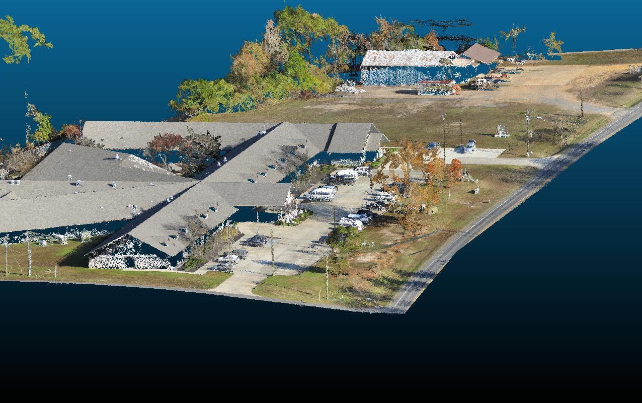
To produce the survey in the timeframe desired for the 4.4594 acres site, it was determined a drone aerial survey would be the most efficient way to accomplish this goal. In order to facilitate the drone survey a system of ground control points visible from the air needed to be established. This produced an Orthomosaic 2D image as well as a 3D Digital Surface Model (DSM) that was utilized to generate the finished survey. The image shown here is the 3D imagery of the actual point cloud data. This point cloud facilitates making close observations of the site, in addition to obtaining meta data of any point selected. The normal Table A items for an ALTA survey were addressed in their normal course for this project.

